Artvee
  • Browse
    • Abstract
    • Figurative
    • Landscape
    • Illustration
    • Posters
    • Religion
    • Mythology
    • Drawings
    • Still Life
    • Animals
    • Botanical
    • Asian Art
  • Books
  • Artists
  • Explore
    • Topics
    • Culture
    • Movements
  • Highlights
  • Collections
  • Galleries
  • Artvee Pro
Login
Artvee
Menu
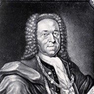
Matthäus Seutter
Matthäus Seutter

Matthäus Seutter

German, 1678-1757
Follow

Matthäus Seutter was a German map publisher of the 18th century.

Seutter started his career as an apprentice brewer. Apparently uninspired by the beer business, Seutter left his apprenticeship and moved to Nuremberg where he apprenticed as an engraver under the tutelage of the prominent J. B. Homann. Sometime in the early 18th century Seutter left Homann to establish his own independent cartographic publishing firm in Augsburg. Though he struggled in the early years of his independence, Seutter’s engraving skill and commitment to diversified map production eventually gained him a substantial following. Most of Seutter’s maps were heavily based upon, if not copies of, earlier work done by the Homann and Delisle firms.

By 1732 Seutter was honored by the German Emperor Charles VI with the title of “Imperial Geographer”. Seutter continued to publish until his death, at the height of his career, in 1757. The Seutter firm continued under Seutter’s son Albrecht Carl until his death in 1762. Following Albrecht’s death, the firm was divided between the established Probst firm and the emerging firm of Tobias Conrad Lotter. Lotter, Matthäus Seutter’s son in law, was a master engraver and worked on behalf of the Seutter firm. Lotter would eventually become one of the most prominent cartographers of his day.

3 items

Show 30 50 70
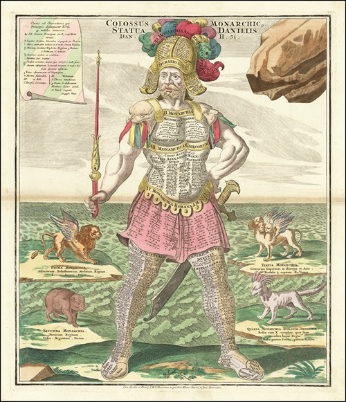
Colossus, with sword and scepter, representing Daniel’s interpretation of King Nebuchadnezzar’s dream

Colossus, with sword and scepter, representing Daniel’s interpretation of King Nebuchadnezzar’s dream (1730)

Matthäus Seutter (German, 1678-1757)
Illustration
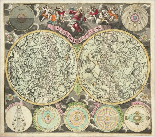
Planisphaerium Coeleste

Planisphaerium Coeleste (1730)

Matthäus Seutter (German, 1678-1757)
Illustration
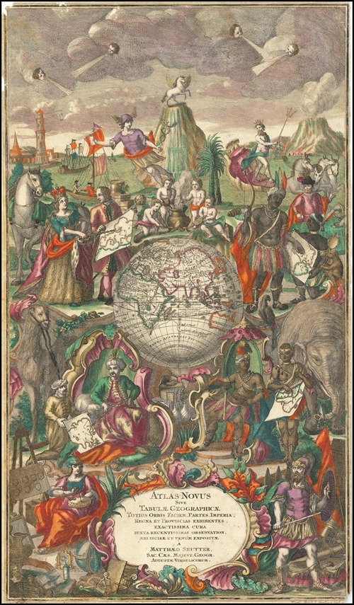
Atlas Novus Sive Tabulae Geographicae Totius Orbis Taciem

Atlas Novus Sive Tabulae Geographicae Totius Orbis Taciem (1730)

Matthäus Seutter (German, 1678-1757)
Illustration

0 Artworks
Follow
Facebook Twitter Pinterest
Favourite
Collect

Standard, JPG, Size:

Download

Max Size, JPG, Size:

Download
License: All public domain files can be freely used for personal and commercial projects. .
Why is this image in the public domain?
  • Terms
  • Privacy
  • Contact us
Artvee.com 2024 All Rights Reserved
We use cookies to improve your experience on our website. By browsing this website, you agree to our use of cookies.
More info Accept
  • Sign in
  • Browse
    • Abstract
    • Figurative
    • Landscape
    • Illustration
    • Posters
    • Religion
    • Mythology
    • Drawings
    • Still Life
    • Animals
    • Botanical
    • Asian Art
  • Artists
  • Books
  • Explore
    • Topics
    • Culture
    • Movements
  • Highlights
  • Collections
  • Galleries
  • Artvee Pro