Artvee
  • Browse
    • Abstract
    • Figurative
    • Landscape
    • Illustration
    • Posters
    • Religion
    • Mythology
    • Still Life
    • Nature
    • Drawings
  • Books
  • Artists
  • Explore
    • Topics
    • Culture
    • Movements
  • Highlights
  • Collections
  • Galleries
  • Artvee Pro
Login
Artvee
Menu
Armand Heins - Maps of Ghent drawn in 1619 by surveyor Jacq. Horenbault Pl.10

Maps of Ghent drawn in 1619 by surveyor Jacq. Horenbault Pl.10 (1900)

Armand Heins
Facebook Twitter Pinterest
Favourite
Collect

Standard, 1364 x 1800px JPG, Size: 1.99 MB

Download

Max Size, 3030 x 4000px JPG, Size: 9.02 MB

Download
License: All public domain files can be freely used for personal and commercial projects.
Why is this image in the public domain?

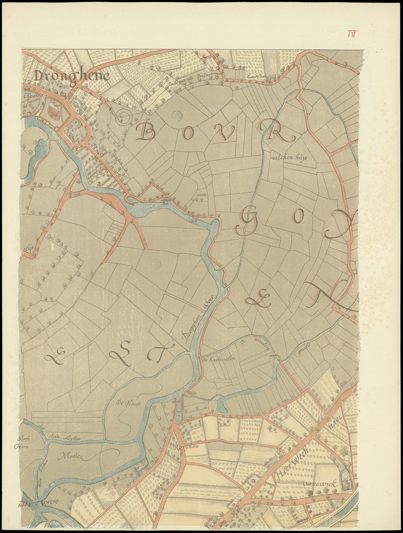
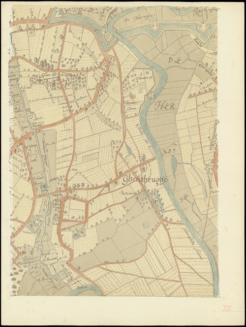
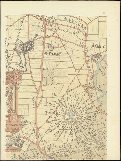
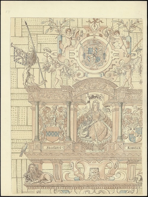
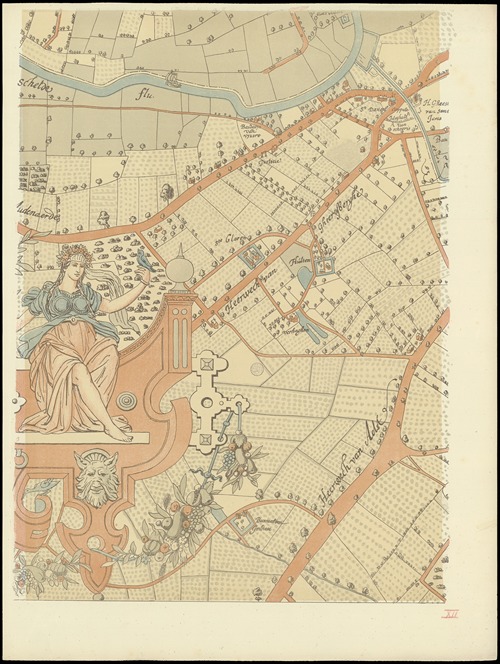
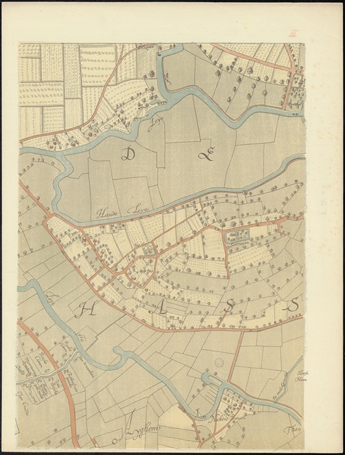
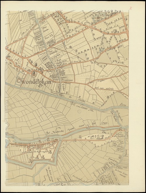
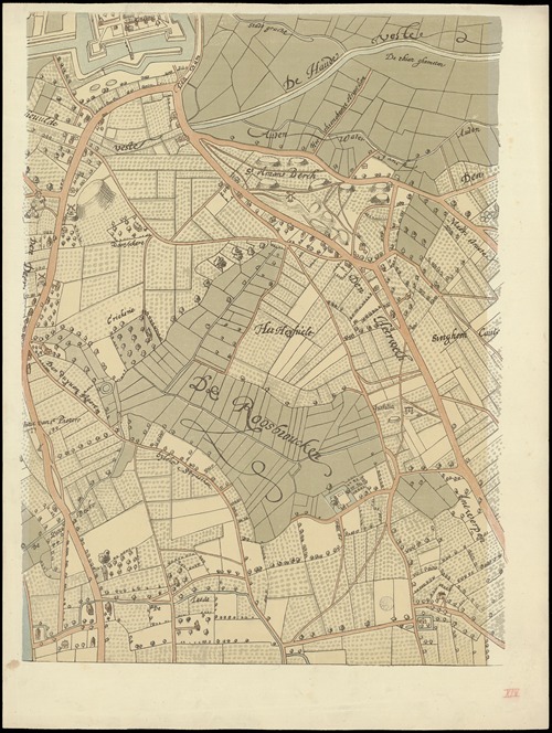
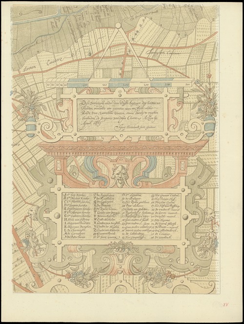
More Illustrations in Book: Maps of Ghent drawn in 1619 by surveyor Jacq. Horenbault (View all 10)

Maps of Ghent drawn in 1619 by surveyor Jacq. Horenbault Pl.08

Maps of Ghent drawn in 1619 by surveyor Jacq. Horenbault Pl.08 (1900)

Armand Heins
Maps of Ghent drawn in 1619 by surveyor Jacq. Horenbault Pl.07

Maps of Ghent drawn in 1619 by surveyor Jacq. Horenbault Pl.07 (1900)

Armand Heins
Maps of Ghent drawn in 1619 by surveyor Jacq. Horenbault Pl.10

Maps of Ghent drawn in 1619 by surveyor Jacq. Horenbault Pl.10 (1900)

Armand Heins
Maps of Ghent drawn in 1619 by surveyor Jacq. Horenbault Pl.06

Maps of Ghent drawn in 1619 by surveyor Jacq. Horenbault Pl.06 (1900)

Armand Heins
Maps of Ghent drawn in 1619 by surveyor Jacq. Horenbault Pl.05

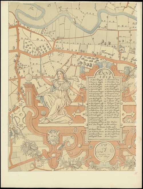
Maps of Ghent drawn in 1619 by surveyor Jacq. Horenbault Pl.05 (1900)

Armand Heins
Maps of Ghent drawn in 1619 by surveyor Jacq. Horenbault Pl.03

Maps of Ghent drawn in 1619 by surveyor Jacq. Horenbault Pl.03 (1900)

Armand Heins
Maps of Ghent drawn in 1619 by surveyor Jacq. Horenbault Pl.02

Maps of Ghent drawn in 1619 by surveyor Jacq. Horenbault Pl.02 (1900)

Armand Heins
Maps of Ghent drawn in 1619 by surveyor Jacq. Horenbault Pl.09

Maps of Ghent drawn in 1619 by surveyor Jacq. Horenbault Pl.09 (1900)

Armand Heins
Maps of Ghent drawn in 1619 by surveyor Jacq. Horenbault Pl.04

Maps of Ghent drawn in 1619 by surveyor Jacq. Horenbault Pl.04 (1900)

Armand Heins
Maps of Ghent drawn in 1619 by surveyor Jacq. Horenbault Pl.01

Maps of Ghent drawn in 1619 by surveyor Jacq. Horenbault Pl.01 (1900)

Armand Heins
View all 10 Artworks

0 Artworks
Follow
Facebook Twitter Pinterest
Favourite
Collect

Standard, JPG, Size:

Download

Max Size, JPG, Size:

Download
License: All public domain files can be freely used for personal and commercial projects. .
Why is this image in the public domain?
  • Terms
  • Privacy
  • Contact us
Artvee.com 2024 All Rights Reserved
We use cookies to improve your experience on our website. By browsing this website, you agree to our use of cookies.
More info Accept
  • Sign in
  • Browse
    • Abstract
    • Figurative
    • Landscape
    • Illustration
    • Posters
    • Religion
    • Mythology
    • Still Life
    • Nature
    • Drawings
  • Artists
  • Books
  • Explore
    • Topics
    • Culture
    • Movements
  • Highlights
  • Collections
  • Galleries
  • Artvee Pro