Artvee
  • Browse
    • Abstract
    • Figurative
    • Landscape
    • Illustration
    • Posters
    • Religion
    • Mythology
    • Still Life
    • Nature
    • Drawings
  • Books
  • Artists
  • Explore
    • Topics
    • Culture
    • Movements
  • Highlights
  • Collections
  • Galleries
  • Artvee Pro
Login
Artvee
Menu
John Paul Goode
John Paul Goode

John Paul Goode

American, 1862 – 1932
Follow

John Paul Goode, a geographer and cartographer, was one of the key geographers in American geography's Incipient Period from 1900 to 1940. Goode was born in Stewartville, Minnesota on November 21, 1862. Goode received his bachelor's degree from the University of Minnesota 1889 and his doctorate in economics from the University of Pennsylvania in 1903.

Goode got his first teaching job at Moorhead Normal School in 1889 where he taught geology, chemistry, physics, anatomy, botany and physiology. He married Ida Katherine Hancock, a physiology and arithmetic instructor at the school since 1897, in 1901 in Crookston, MN. By late 1901, Goode and Ida moved to Charleston, IL as a member of the faculty at Eastern Illinois State Normal School (now Eastern Illinois University), where he taught physics and geography (Eastern Illinois University iv). Later on in 1903, he was offered a position as a professor in the Geography Department at the University of Chicago.

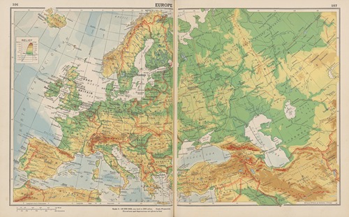
In 1908, Goode spoke at an American Association of Geographers meeting in Baltimore, USA about the creating an alternative to the “Evil Mercator”. The Mercator projection has severe distortion at the poles and northern latitudes. Goode merged the homolographic and sinusoidal projections at 40° 44’ 11.8” N and S to make the Goode Interrupted Homolosine projection. The “homolo” coming from homolographic, and the “sine” originating from sinusoidal. He calculated the latitude where the two projections had the same scale and therefore should be merged by overlaying the two projections on each other. Above and below 40° 44’ 11.8” N and S respectively, the homolographic projection is used. Between those two latitudes the sinusoidal projection is inserted. The Interrupted Homolosine projection is a pseudo-cylindrical, equal area projection. Initially, Goode's Homolosine projection did not have universal appeal. The United States not being at the center of the map challenged the cartographic culture of the time.

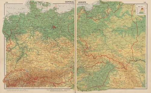
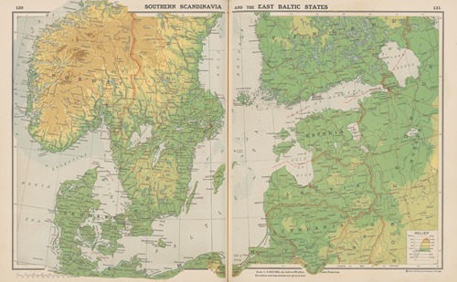
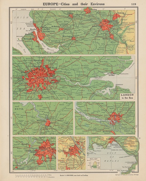
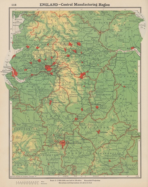
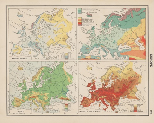
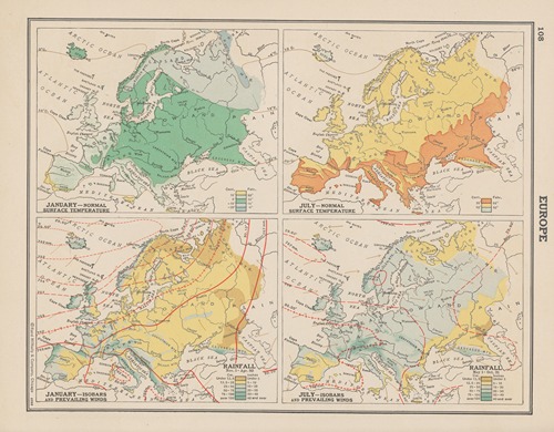
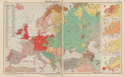
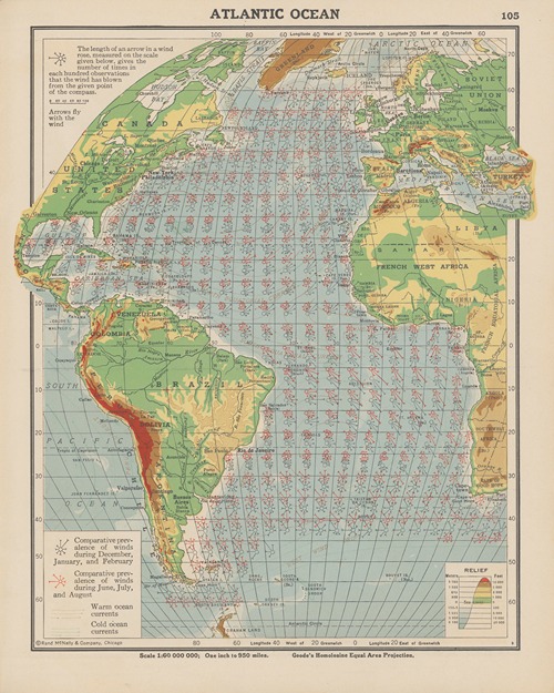
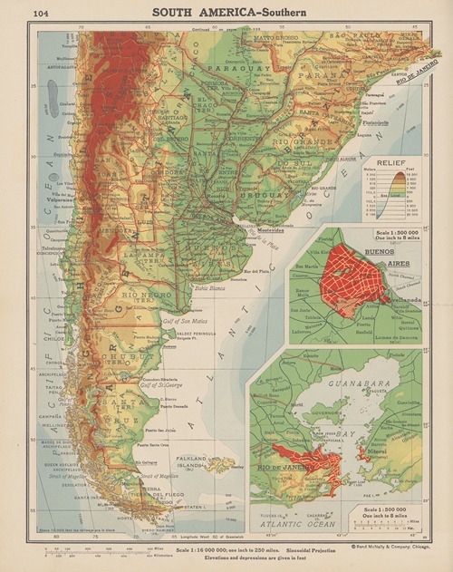
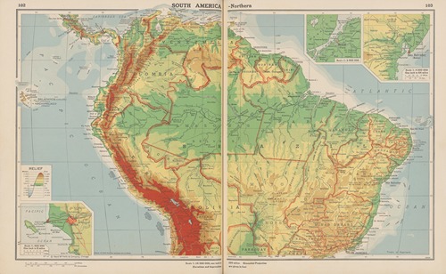
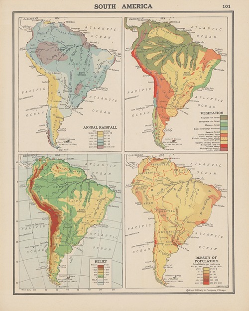
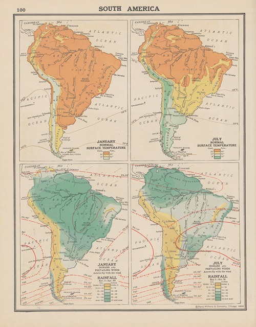
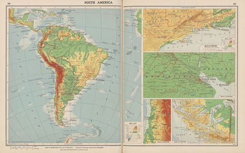
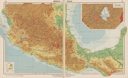
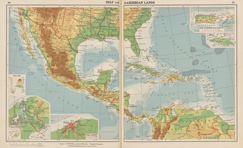
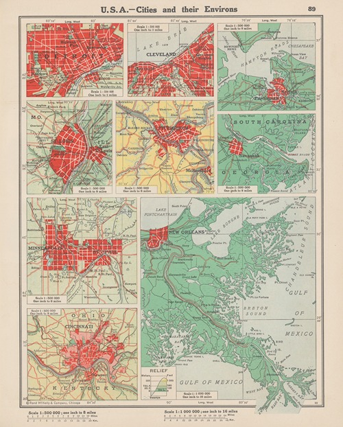
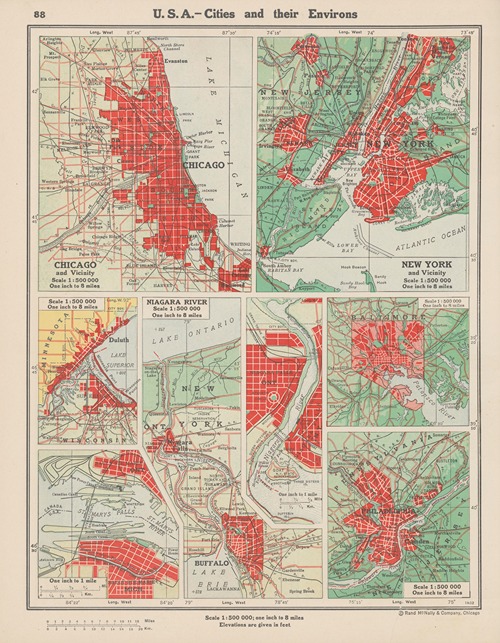
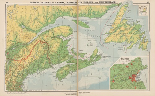
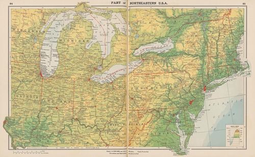
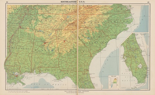
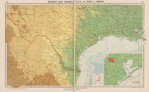
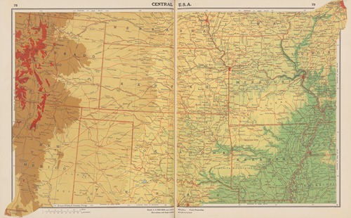
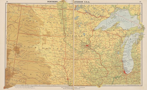
Two of Goode's former students (Leppard and Espenshade) helped him create Goode's School Atlas (later retitled Goode's World Atlas), first published in 1923 by Rand McNally. Goode claimed that “Every square inch in the map represents the same number of square miles of the earth's surface as any other square inch in the map”. The atlas is still published today, now in its 23rd edition.

By 1928, under failing health and 66 years old, Goode had a heart attack.

In 1930, seeing that technology had made the political framework of the United States redundant (a framework laid down when it took a courier on horseback one full day to traverse a county), Goode presented a plan for a new 50 state union to replace the then 48 states. 31 of the existing states were to be retained, 17 would be converted to 8 and to these would be added 11 city-states comprising the largest metropolitan areas of the time.

On August 5, 1932, John Paul Goode died at age 69.

117 items

Show 30 50 70
Europe—Central

Europe—Central (1943)

John Paul Goode (American, 1862 – 1932)
Illustration
Europe—Southern Scandinavia and the East Baltic States

Europe—Southern Scandinavia and the East Baltic States (1943)

John Paul Goode (American, 1862 – 1932)
Illustration
Europe—Cities and Their Environs

Europe—Cities and Their Environs (1943)

John Paul Goode (American, 1862 – 1932)
Illustration
England – Central Manufacturing Region

England – Central Manufacturing Region (1943)

John Paul Goode (American, 1862 – 1932)
Illustration
Europe—British Isles and North Sea Lands

Europe—British Isles and North Sea Lands (1943)

John Paul Goode (American, 1862 – 1932)
Illustration
Mediterranean Lands

Mediterranean Lands (1943)

John Paul Goode (American, 1862 – 1932)
Illustration
Soviet Union in Europe

Soviet Union in Europe (1943)

John Paul Goode (American, 1862 – 1932)
Illustration
Europe—Western

Europe—Western (1943)

John Paul Goode (American, 1862 – 1932)
Illustration
Europe; Annual Rainfall, Vegetation, Land Relief, Density of Population

Europe; Annual Rainfall, Vegetation, Land Relief, Density of Population (1943)

John Paul Goode (American, 1862 – 1932)
Illustration
Europe. Temperature, Rainfall

Europe. Temperature, Rainfall (1943)

John Paul Goode (American, 1862 – 1932)
Illustration
Europe. Languages

Europe. Languages (1943)

John Paul Goode (American, 1862 – 1932)
Illustration
Europe

Europe (1943)

John Paul Goode (American, 1862 – 1932)
Illustration
Atlantic Ocean

Atlantic Ocean (1943)

John Paul Goode (American, 1862 – 1932)
Illustration
South America—Southern

South America—Southern (1943)

John Paul Goode (American, 1862 – 1932)
Illustration
South America—Northern

South America—Northern (1943)

John Paul Goode (American, 1862 – 1932)
Illustration
South America, Annual Rainfall, Vegetation, Land Relief, Density of Population

South America, Annual Rainfall, Vegetation, Land Relief, Density of Population (1943)

John Paul Goode (American, 1862 – 1932)
Illustration
South America, Temperature, Rainfall

South America, Temperature, Rainfall (1943)

John Paul Goode (American, 1862 – 1932)
Illustration
South America

South America (1943)

John Paul Goode (American, 1862 – 1932)
Illustration
West Indies—Western

West Indies—Western (1943)

John Paul Goode (American, 1862 – 1932)
Illustration
Central America

Central America (1943)

John Paul Goode (American, 1862 – 1932)
Illustration
Mexico—Central

Mexico—Central (1943)

John Paul Goode (American, 1862 – 1932)
Illustration
Gulf and Caribbean Lands

Gulf and Caribbean Lands (1943)

John Paul Goode (American, 1862 – 1932)
Illustration
U. S. A.—Cities and Their Environs

U. S. A.—Cities and Their Environs (1943)

John Paul Goode (American, 1862 – 1932)
Illustration
U. S. A.—Cities and Their Environs

U. S. A.—Cities and Their Environs (1943)

John Paul Goode (American, 1862 – 1932)
Illustration
Eastern Gateway of Canada, Northern New England, and Newfoundland

Eastern Gateway of Canada, Northern New England, and Newfoundland (1943)

John Paul Goode (American, 1862 – 1932)
Illustration
Part of Northeastern U. S. A.

Part of Northeastern U. S. A. (1943)

John Paul Goode (American, 1862 – 1932)
Illustration
Southeastern U.S.A.

Southeastern U.S.A. (1943)

John Paul Goode (American, 1862 – 1932)
Illustration
Western Gulf Region of U. S. A and Part of Mexico

Western Gulf Region of U. S. A and Part of Mexico (1943)

John Paul Goode (American, 1862 – 1932)
Illustration
Central U.S.A.

Central U.S.A. (1943)

John Paul Goode (American, 1862 – 1932)
Illustration
Northern Interior U. S. A.

Northern Interior U. S. A. (1943)

John Paul Goode (American, 1862 – 1932)
Illustration
  • ←
  • 1
  • 2
  • 3
  • 4
  • →

0 Artworks
Follow
Facebook Twitter Pinterest
Favourite
Collect

Standard, JPG, Size:

Download

Max Size, JPG, Size:

Download
License: All public domain files can be freely used for personal and commercial projects. .
Why is this image in the public domain?
  • Terms
  • Privacy
  • Contact us
Artvee.com 2024 All Rights Reserved
We use cookies to improve your experience on our website. By browsing this website, you agree to our use of cookies.
More info Accept
  • Sign in
  • Browse
    • Abstract
    • Figurative
    • Landscape
    • Illustration
    • Posters
    • Religion
    • Mythology
    • Still Life
    • Nature
    • Drawings
  • Artists
  • Books
  • Explore
    • Topics
    • Culture
    • Movements
  • Highlights
  • Collections
  • Galleries
  • Artvee Pro